Campania in Cammino
Trekking and Outdoor
Costiera Amalfitana - Sorrentina

Escursione a Punta Campanella, ai confini della Penisola
Il Sentiero, che inizia dalla piazza principale di Termini, frazione di Massa Lubrense, offre splendide viste sull’affascinante Cala Mitigliano, Capri e il golfo di Napoli. Attraversando paesaggi rurali ed uliveti, atmosfere romantiche si cammina fino ad incontrare una torre medievale e alcuni resti di mura romane e un moderno faro. Da qui si inizia a salire verso il Monte San Costanzo dove sorge il Monastero San Costanzo, punto di snodo dal quale è possibile prendere le scale che portano al punto di partenza o continuare a scendere sul sentiero che dopo un tratto in piano conduce lungo il lato est del Monte San Costanzo e termina nella piazza principale di Nerano (Borgo di Massa Lubrense).
Difficoltà: Media
Length: 7,5 km
Dislivello: +/- 550 m
Durata: 4 h
Il percorso può essere svolto in maniera privata, secondo le tariffe indicate, oppure in aggregazione ad un gruppo con tariffa diversa (da quotare).
Campi Flegrei

Escursione Montenuovo – Lago d’Averno, Pozzuoli
Il Montenuovo è il più giovane vulcano d’Europa, nato nel 1538. Le pendici del vulcano sono ricoperte da boschi di pino e di leccio, oltre che da una rigogliosa macchia mediterranea, mentre nel cratere si può osservare il fenomeno dell’inversione vegetazionale. Dalla cima del vulcano un sentiero scende vero il Lago d’Averno, l’unico lago d’acqua dolce dei Campi Flegrei, il più ricco di avifauna migratoria e nidificante, con l’adiacente Lago Lucrino (di natura salmastra). Insieme, i due laghi, formano un complesso ambientale e archeologico di straordinario valore.
Length: 4 km
Difficoltà: turistico
Dislivello: 180 metri
Durata: 3 ore
Il percorso può essere svolto in maniera privata, secondo le tariffe indicate, oppure in aggregazione ad un gruppo con tariffa diversa (da quotare).
Irpinia

Escursione in risalita verso il Monte Cervialto
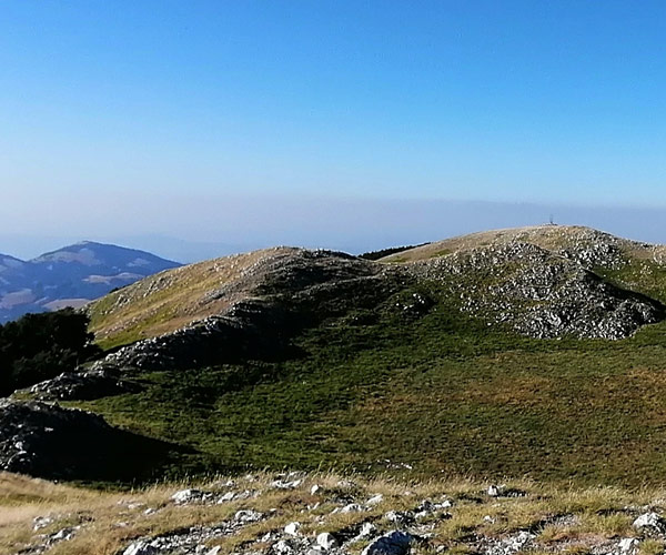
Questo percorso è un fuori pista senza sentiero e ricco di spunti fotografici e panoramici. Partendo dalla piana del Migliato, in risalita lungo una dorsale di cresta che conduce quasi in località Toppa dei Canti, anziché girare verso Monte Cervarulo, si segue una dorsale boschiva che prosegue verso una delle creste più panoramiche ed entusiasmanti del Cervialto.
Raggiunta la in vetta e ammirato lo straordinario spettacolo della natura, si scende lungo una nuova direttissima di cresta che conduce fino ad un bosco misto di cerro, faggio e acero dove un canalone di foglie porta alla strada principale per il piano Migliato.
Length: 8 km
Difficoltà: media
Dislivello: 644 metri
Durata: 5 h
Il percorso può essere svolto in maniera privata, secondo le tariffe indicate, oppure in aggregazione ad un gruppo con tariffa diversa (da quotare).
Città di Salerno

Il Sentiero del Principe, uno sguardo sulla città di Salerno
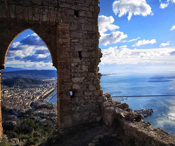
Il Sentiero del Principe è un percorso che si dispiega tra centro storico e tratti boschivi, che inizia dal Duomo di San Matteo per poi salire verso il Monastero di Montevergine. Costeggiando il Castello Arechi si giunge alla Collina di Saragnano, una balconata naturale che si affaccia sul panorama circostante. Proprio questa collina ospita il punto focale del percorso, che è sicuramente la Cornice del Principe, una vera e propria finestra che offre una vista mozzafiato sulla città e sul Golfo, forse testimonianza di un’antica cappella.
Length: 5,5 km
Difficoltà: facile
Dislivello: 250 metri
Durata: 4 h
Il percorso può essere svolto in maniera privata, secondo le tariffe indicate, oppure in aggregazione ad un gruppo con tariffa diversa (da quotare).
Gorges of Caccaviola

The path of the Caccaviola Gorges winds through a valley created by the erosion and the force of the water of the Titerno river. Dug out of the limestone rock, it is not only beautiful to admire, it is not just one of the many wonders of nature, but also allows for a very adventurous and exciting excursion. The route lasts about four to six hours and begins in the riverbed with a thirty-meter descent under a roaring waterfall. We continue between dives and walks in an enchanting canyon squeezed between high walls. The Caccaviola Gorges offer two routes to choose from: the "adventure" one, in via Ferrata in the Caccaviola gorge, and the "Canyoning" one, to be done with the wetsuit and all the necessary equipment.
Partenza: Cusano Mutri
Località di arrivo: Cusano Mutri
Length: About 2.5 km, about 6 hours
Grado di difficoltà: medio/alta
Sentiero degli Dei

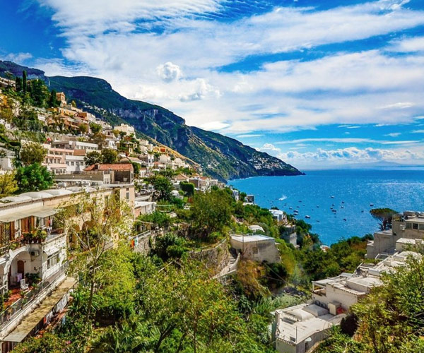
The Sentiero degli Dei is a nature trail that winds along the Amalfi Coast and the Sorrento Coast, starting from Agerola and ending in Positano. The name by which this nature trail is called alludes to the divine beauty of the places it passes through and to the legends according to which the Greek gods passed right here to save Ulysses from the sirens that were on the island of Li Galli. The starting point of the Path of the Gods is in Bomerano, a fraction of Agerola, an ancient village on the Amalfi Coast and the arrival is Nocelle, a fraction of Positano on Mount Pertuso. The route is considered one of the most beautiful in the world.
Partenza: Agerola o Praiano
Località di arrivo: Nocelle, frazione di Positano
Length: About 8 km, about 4 and a half hours of walking
Grado di difficoltà: lieve. Sconsigliato a chi soffre di vertigini
Cilento coast - Palinuro

It is a route suitable for any degree of preparation, being able to adapt to the distance and travel time. With a moderate difference in height, only 210 meters, it allows us to enjoy a splendid Mediterranean scrub near the Palinuro cliff, a beautiful beach and to approach the famous Arco Naturale and the Mingardo rock. The integral route initially includes a departure from the beach that stretches north of Palinuro, to be covered for about one km up to the Port area. From here it is possible to go up to the promontory of Palinuro through a comfortable road that first in the external area, then at the lighthouse, allows you to admire the panorama of the entire coast.
The route continues in the southern part of the promontory, descending until it overlooks the Natural Arch.
It is possible to significantly reduce the distance by cutting the initial and / or final part of the route and end the walk with a short walk in the heart of Palinuro.
Partenza: Palinuro
Località di arrivo: Palinuro
Lunghezza: 15 km circa, 5 ore circa
Grado di difficoltà: facile
Sentiero della Valle delle Ferriere

The Valle delle Ferriere it is a path that you take Monti Lattari descends towards Amalfi through fern forests and along streams. The name derives from the presence of ruins of ironworks of medieval origin, structures used for the processing of the mineral. The trail starts from Pontone, part of the Municipality of Scala and ends directly in Amalfi. The route is not tiring and develops among woods, streams and waterfalls as well as the rapids of Rio Canneto. This was once used as the driving force of the mills of the ancient paper mills, where the famous Amalfi paper was created. Today the paper is still in great demand and some specimens can be seen at the Amalfi Paper Museum. In the valley you can still visit the ruins of the old paper mills dating back to the 12th century.
Partenza: borgo di Pontone, frazione di Scala
Località di arrivo: Amalfi
Length: About 5 km, 3 hours and about
Grado di difficoltà: facile
